
Sponsored Find a Solicitor — free quotes via ReallyMoving
Land
Next Steps
Sponsored — free quotes via ReallyMoving
Find a Solicitor
Land purchases need specialist legal advice — compare fees
Our Summary
- Designations The Property lies within a Surface Water Nitrate Vulnerable Zone (NVZ) Area and is subject to the usual restrictions
Get alerted when similar properties are listed — Subscribe
Description
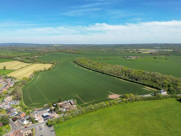
Oxpasture Bank extends to approximately 45.67 acres (18.48 ha) consisting of 33.60 acres (13.60 ha) of Grade 3 arable land and 12.07 acres (4.89 ha) of broadleaf deciduous woodland. The land is bounded by mature hedgerows and a stream runs along the eastern boundary, with direct access off the B4090 highway. The arable land is currently cropped with Winter Wheat and the woodland has been used by a local shoot.
The property is mainly located in open countryside with a mix of flat to gently sloping land. The soil is described as slowly permeable slightly acid but base-rich loamy and clayey soils and the land lies within a Surface Water Nitrate Vulnerable Zone (nvz) Area.